Church Stretton & Ludlow/Llwydlo Map | Wenlock Edge | Ordnance Survey | OS Landranger Map 137 | England | Walks | Cycling | Days Out | Maps | Adventure
£8.99


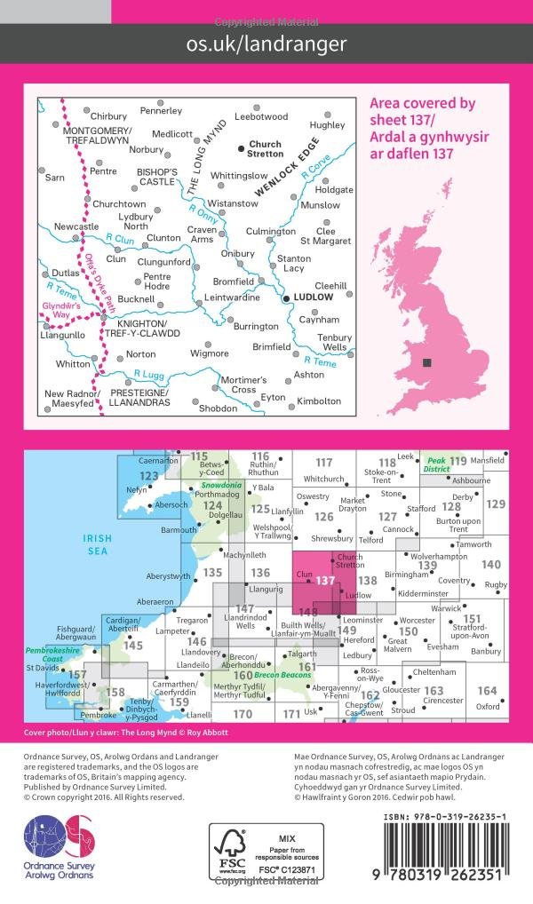
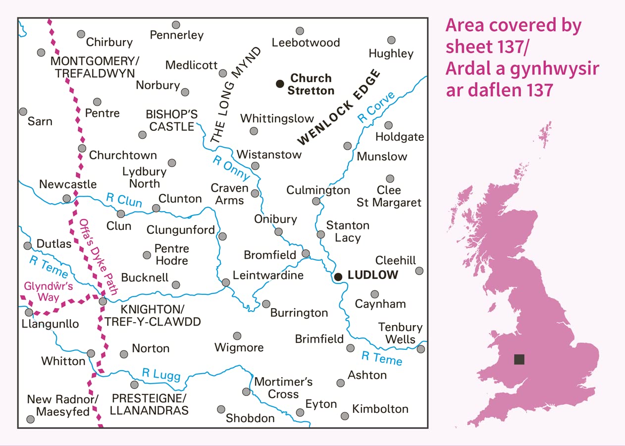
Discover south Shropshire and the hills on the border of England and Wales known as the Marches. Explore the Shropshire Hills Area of Outstanding Natural Beauty from Church Stretton, a historic town beneath the heath and moorland plateau of the Long Mynd.
– Wander the limestone escarpment of Wenlock Edge and climb the Wrekin for spectacular views of 17 counties
– Uncover the storied history of Ludlow and visit Ludlow Castle, an impressive ruin above the river Teme
– Walk, hike and cycle along Offa’s Dyke Path and beloved recreational paths through the Marches and Shropshire Hills
OS Landranger Maps:
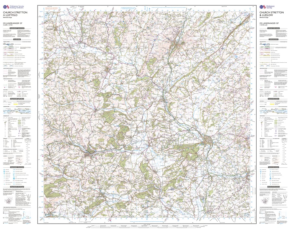
– 1:50 000 scale (2 cm to 1 km – 1¼ inches to 1 mile).
– Covers larger area in less detail.
– Ideal for long distance walking, cycling, family days out and more.
– Includes roads, rights of way, permissive paths and bridleways, plus essential visitor information.
– Free digital download included.
– Other Ordnance Survey Landranger maps of Shropshire include Shrewsbury & Oswestry map 126 and Kidderminster & Wyre Forest map 138.
From the brand


OS Explorer (1:25 000)
OS Landranger (1:50 000)
OS Pathfinder Guides
OS Short Walks Made Easy
OS Books & City Walks Guides
Publisher : Ordnance Survey; February 2016 ed edition (24 Feb. 2016)
Language : English
Map : 1 pages
ISBN-10 : 0319262359
ISBN-13 : 978-0319262351
Dimensions : 13.4 x 1.5 x 21.8 cm


There are no reviews yet.