Panorama World Map for Children XXL – 140x100cm Children’s World Map completely hand drawn and coloured (English)
£27.98


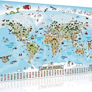
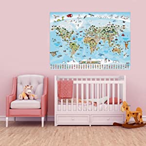
Beautifully designed and detailed children’s world map XXL poster in a gigantic giant format with 140 x 100 cm.
All contents of the children’s menu are lovingly drawn and colored by hand. Didactically very valuable
contents are conveyed by the fact that all animals, plants and buildings are geographically correctly assigned and described. There is a lot to discover and learn on the map. In this way our earth is brought closer to the offspring in a playful way.
There is also information about the individual countries, such as capitals, country sizes and number of inhabitants.
In addition, the panorama children’s world maps are thinly laminated with foil. As a result, the card can be written on with water-soluble pens and can be wiped off with a damp sponge. This is not a thick lamination and is therefore hardly visible to the layperson.
Important: many children’s world maps are carelessly “clapped” with computer graphics, with wrong content and without any meaningful learning content. Our map has almost 1000 hand-drawn and hand-colored
drawings that children can take in much better.
The Panorama Children’s World Map in XXL poster format:
– High-quality giant poster with a world map on a scale of 1: 40,000,000.
– Gigantic dimensions of 140 x 100 cm in razor-sharp quality.
– Almost 1000 elaborately hand-colored and hand-colored graphics.
– Child-friendly Design that stimulates the imagination and will arouse curiosity.
– Legend with country flags, capitals, population & country sizes.
– Thin lamination strengthens the paper and makes the map writable and wipeable.
– A wonderful and instructive one Decoration for every children’s room.
– Let your children explore new things every day. Excellent for general education.
– 100% completely Made in Germany
Product Description
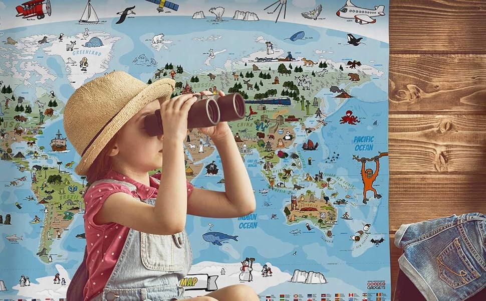

See the world with new eyes…
Extra large and excitingly designed XXL panorama world map for children with 140 x 100 cm. The children’s world map encourages discovery in the children’s room, as it presents the flora and fauna typical of the country, as well as personalities, wonders of the world, fairy tales and of course all kinds of animals in a tangible and entertaining way for children.
The world map for children is completely hand-drawn by expert authors and lovingly coloured. The result is an imaginative and child-friendly world map with almost 1000 hand-painted illustrations of flora, fauna and important corners of our earth. Of course, everything about this product, from the conception and illustrations to the production, is 100% Made in Germany.
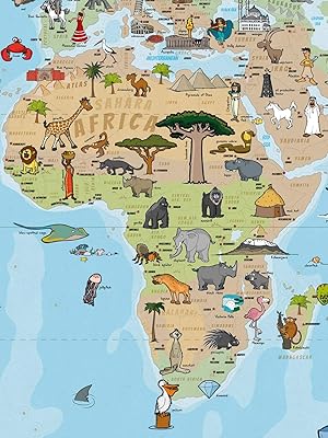

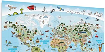
 Discovery fun in XXL format
The colourful children’s world map is thinly laminated with foil. Although this is hardly visible to the layman, the map can be written on and wiped off with water-soluble pens. Dirt and grease can also be easily wiped away with a sponge. In addition, the paper of the children’s card is more stable and tear-resistant.
This means that children can also draw directly on the map, which increases the interaction even more.
Flora and fauna from all over the world!
The map is specially curated for children and designed with didactic value. This way, numerous learning contents are conveyed in a playful and exciting way. Hung in the children’s room, this world map poster becomes an absolute favourite and stimulates the imagination and curiosity. In addition, the legend conveys a lot of interesting information such as flags, capitals, surface area and number of inhabitants of the countries
From conception to illustration and production 100% Made in Germany
LOVINGLY DESIGNED CHILDREN’S WORLD MAP ELABORATELY DRAWN BY HAND CHILD-FRIENDLY & INSTRUCTIVE DESIGN WATERPROOF & WRITABLE DESIGN
For real explorers
This way, children can go on a discovery tour before their holiday and see what the flora and fauna have to offer. Other information, such as the country flag and capitals, can also be explored in a playful way. This is also fun together as a family when you can plan your next holiday destination with the children! You can inspire your children with the map not only for holiday planning but also for playful learning. Thanks to the appealing, artistic design, the pictures and countries are better remembered in the photographic memory.
We wish you lots of fun with your little (and big!) discoveries!





ASIN : B08G8V5VDQ
Dimensions : 100 x 140 x 0.5 cm


![BORUiT LED Head Torch Red White Light Headlamp [2 Pack] AAA Battery Super Bright 4 Mode Headtorch for Kids Adult Camping Running Hiking Fishing Headlight Gear](https://i2.wp.com/m.media-amazon.com/images/I/71MlPg2EqTL._AC_SL1500_.jpg?w=300&resize=300,0&ssl=1)

There are no reviews yet.