Yorkshire Dales Map | Northern & Central | Ordnance Survey | OS Explorer Map OL30 | England | Walks | Hiking | Maps | Adventure
£8.99


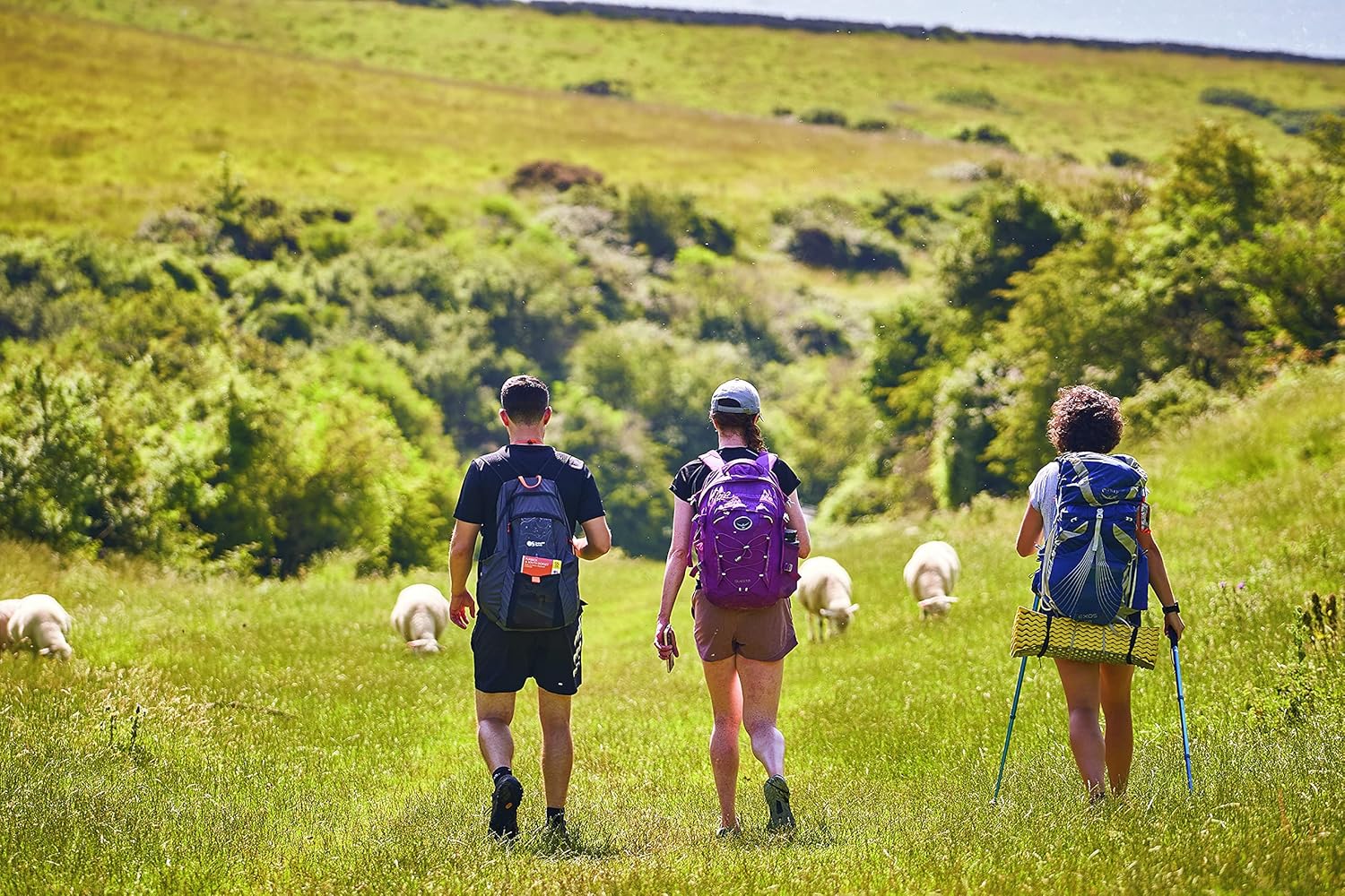
Discover the unspoiled wildness of Swaledale, Arkengarthdale and Wensleydale and bathe in the wildflower meadows, heather moors and waterfalls of the Yorkshire Dales National Park. See ‘James Herriot country’ and the exquisite scenery made famous by All Creatures Great and Small in the northern Yorkshire Dales.
Enjoy spotting native wildflowers and the rich wildlife of the Yorkshire Dales, including hares, curlews, lapwings and peregrine falcons Investigate the scenic stone villages of Muker, Gunnerside and quirky Reeth, described as paradise for cyclists Climb the high fells of Lovely Seat and High Carl or follow world-renowned paths including A Pennine Journey, the Pennine Way and the Six Dales Trail
OS Explorer Maps:
1:25 000 scale (4 cm to 1 km – 2½ inches to 1 mile). Great for walkers, hikers, cyclists, families, dog walkers, and horse riders. Includes roads, rights of way, permissive paths and bridleways, plus essential visitor information. Free digital download included. Other Ordnance Survey Yorkshire Dales maps include Yorkshire Dales: Southern & Western Explorer map OL02, Nidderdale Explorer map 298 and Howgill Fells & Upper Eden Valley Explorer map OL19
From the brand


OS Explorer (1:25 000)
OS Landranger (1:50 000)
OS Pathfinder Guides
OS Short Walks Made Easy
OS Books & City Walks Guides
Publisher : Ordnance Survey; 2016-09 edition (19 Sept. 2016)
Language : English
Map : 1 pages
ISBN-10 : 0319263355
ISBN-13 : 978-0319263358
Dimensions : 13.4 x 1.3 x 23.4 cm


There are no reviews yet.